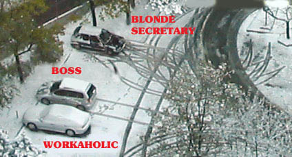
Sweet! A major noreaster. The first major snowfall of the year in my neck of the woods!
DC at 10 inches. Philadelphia might get a foot.
DC at 10 inches. Philadelphia might get a foot.
Heavy Snowfall Expected to Hit Region
Forecasters Predict Up to 10 Inches of Snow
By Fred Barbash
Washington Post Staff Writer
Friday, February 10, 2006; 6:33 AM
Forecasters advised the Washington area this morning to prepare for the first big-time snowfall of the year this weekend, with accumulations of 5 to 10 inches between Saturday morning and Sunday noon.
The heavier snowfall is expected west of the I-95 corridor, with lesser accumulations to the east, though that pattern could change, forecasters said.
Northbound travelers were warned that the snowfall will move up the coast to a position just east of Cape Cod Saturday afternoon, fueled by Gulf and Atlantic moisture which could produce what the weather service called a "major northeaster."
Forecasters said the Philadelphia area could get as much as 12 inches.
Blizzard conditions were expected in the coastal stretches of New York and New England.
The entire area was under a National Weather Service winter storm watch, likely to elevated to a winter storm warning this afternoon.
Locally, the storm will start as a mixture of rain and snow after midnight Saturday before getting down to business later in the day.
Winds picking up to 15 to 25 MPH Saturday could reduce visibility for motorists to below half a mile, the weather service said.
Temperatures will hover in the mid-30s during the day Saturday, dropping into the 20s Saturday night.
Brian Guyer, a National Weather Service meteorologist based in Sterling, said the level of certainty for the snowstorm was "pretty good," adding that the watch would be elevated to a warning last this morning or early this afternoon.


Comment