 Tweet
Tweet
Problem with OMC
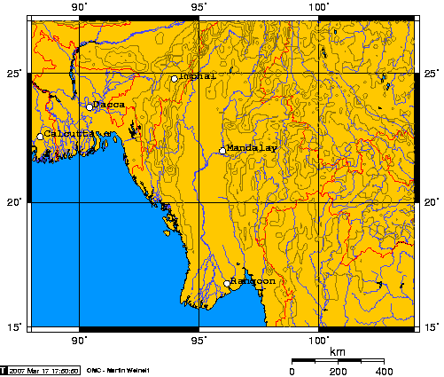
I can't get Kunming to show on the map! I've tried +/- spaces after the commas. Any ideas?
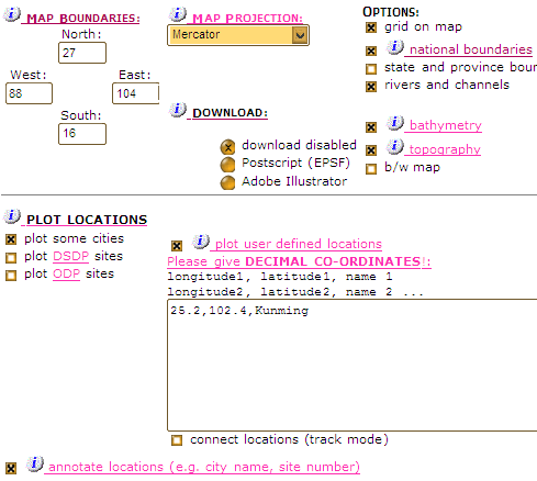
I can't get Kunming to show on the map!
I've tried +/- spaces after the commas. Any ideas?
I've tried +/- spaces after the commas. Any ideas?

")


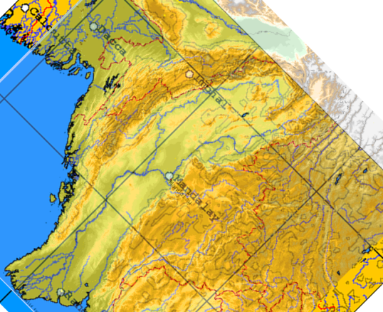
 Looks like I'll need to put it back to the conventional orientation. Thanks Case.

 My current record for scenario building is 1.7 days of designing per historical day. For this campaign, that may be a while.
 [*]Road bonus and maximum aircraft range that is needed (they're inversely related);
  [*]City density (AI seems to work better with closely spaced clusters).
  [/list=1]Any tips for getting a smart AI on big maps?
Comment