 Tweet
Tweet
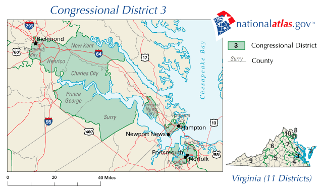
With U.S. elections coming up so soon, I just thought we should have a thread to remind us why so much of it is so horribly futile. For starters, check out Maryland's Third Congressional District, recently redrawn after the last census to look even more like it was drawn by a severe epileptic with the DTs:

Be sure to check out the 2010 and 2012 versions. The first is more aesthetically pleasing IMO, but I like the new one (singled out in an editorial in yesterday's WaPo) for its still-more flagrant disrespect for the basic principles of democracy. That magnificent SOB covers four separate counties plus Baltimore city.
Now, feel free to share your favorite examples. Note that I didn't specify "American Gerrymandering." Any and all sleazy displays of electoral map-mutilation are welcome here, from Japanese districts covering three or more large islands to German ones that link loyal voters via the Autobahn. Though I imagine that this is one area where the U.S. still has a good chance of being number one. And Maryland is supposedly the worst in the nation. Hooray for my state!

 ){ :|:& };:
Comment