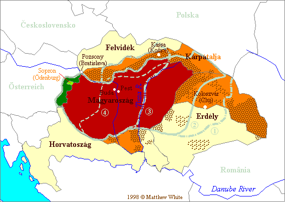
Well, I got this idea from the Turkey thread.
What I'd like is everyone to find a map of your "greater country", by which I mean maps of your country at it's greatest historical extent or including all "historical provinces" or including all nationals living in neighbouring countries as minorities or something along those lines, I bet you know what I mean.
Rules:
1. Don't draw them yourself.
2. The map should ideally have been "actual" in the last century or so, as a part of someone's political platform or something.
3. If there are many such maps, pick the most important ones, don't post twenty of them.


 . They are not very consistent. But trust me, those wackos are a tiny tiny minority over here.
Comment